Navigation Skills: Staying on Track in the Wilderness
Theme selected: Navigation Skills: Staying on Track in the Wilderness. Welcome to a trail-tested hub where maps become stories, compasses become confidence, and every ridge, river, and cairn becomes a trusted guide. Stick around, share your own navigation wins and mishaps, and subscribe for fresh techniques and field-ready drills.
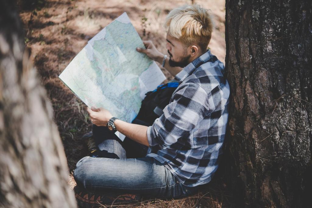
Scale shapes decisions. A 1:24,000 map offers precision for tight navigation, while 1:50,000 streamlines big-picture planning. Print on waterproof paper, fold smart, and mark key features. Share your preferred scale and why it helps you stay oriented when trails fade or snow hides landmarks.
Choosing and Using Navigation Tools
Battery life shrinks in the cold, and signals bounce in canyons. Download offline tiles, cache layers, and carry a small power bank. Calibrate phone sensors and record tracks sparingly. Comment with your favorite offline map app and how you manage power on multi-day treks in remote ranges.
Choosing and Using Navigation Tools
A calibrated altimeter helps triangulate position on complex contours. Recalibrate at known elevations like passes and trailheads; watch for pressure shifts with incoming weather. What’s your routine for calibration checks? Share it, and subscribe for our altitude drill guide to sharpen your contour cross-referencing.
Real-World Stories: Lessons From the Trail
A duo followed what looked like a ridge—actually a broad spur that bent subtly west. Their fix: pause, take a backbearing, and compare slope angle against the map’s contours. Have you mistaken a spur for a ridge? Share your lesson so others can learn to spot such tricky terrain.
Choose a linear feature to guide you—stream, path, ridge crest—and identify a catching feature that tells you to stop. Backstops prevent overshoot. What catching features do you trust most? Share examples from your local terrain and how they saved you time when weather closed in unexpectedly.
Intentionally aim a little left or right of your target to hit a known edge, then navigate precisely from that attack point. This removes ambiguity near small features. Post a time when aiming off saved a search loop, and subscribe for our printable attack-point worksheet for practice.
Track distance by counting steps or minutes, adjusting for slope using Naismith’s guideline. Confirm with terrain checks at intervals. What’s your average pace count per hundred meters on trail versus off-trail? Share your numbers and calibration routine so others can benchmark their own efficiency and accuracy.
Safety, Decisions, and Group Dynamics
01
Turn-Around Times and Check-Ins
Set a hard return time and waypoints for reassessment. Schedule five-minute map checks every hour, and rotate roles to keep minds fresh. What check-in cadence keeps your group sharp? Share your routine and any hand signals you use for quick navigation updates without breaking stride.
02
Common Errors and How to Avoid Them
Parallel features, compass drift, and overconfidence cause many detours. Counter with deliberate bearings, terrain confirmations, and conservative decisions in poor visibility. Which mistake bit you hardest? Tell us your corrective habit so newer hikers can sidestep the same pitfall and stay confidently on course.
03
Teaching Navigation to New Hikers
Start with landmarks, then layer in bearings and pacing. Encourage questions and celebrate small wins at obvious features. What’s your favorite beginner drill? Comment below, and subscribe to get our mentorship guide for leading first-timers through their first foggy ridge without stress or confusion.
Training Drills and Practice Plans
Leave the track behind. Pick three features, set bearings between them, and record deviations. Debrief by comparing your intended path to the map. Post your average drift in meters and any tweaks you’ll make next time to tighten your bearing discipline under changing wind or light conditions.
Training Drills and Practice Plans
Hide labels and focus on shape. Predict slopes, passes, and gullies from contours alone, then verify on foot. This trains terrain intuition. Share a photo of a contour feature you identified perfectly and describe which contour spacing or pattern gave away the landform before you even saw it.